
Searching Parsons Property Records
Parsons property records live at the Tucker County level. This small city keeps no separate recorder or assessor of its own. Deeds, owner of record entries, values, and tax bill data all sit in county systems. Tucker County maintains those systems for every parcel. What the city itself adds is context: charter material, municipal boundaries, ordinances, and permits. One caution applies here. A Parsons street address or postal city can describe land beyond the municipal line. So tie each record to its parcel number and legal description. City sources narrow the question. The county's deed records and assessment rolls still supply the land record itself.
- Search IAS by Tucker County and Parsons street name, owner, or parcel parts.
- Use the GIS community and physical address to confirm the candidate parcel.
- Carry the deed book/page and legal description to the County Clerk land index.
- Ask the Sheriff about tax-bill or delinquency status for the same parcel.
- Check Parsons municipal code or ask City Hall about permit and zoning records.
The county property search route covers the shared address, owner, and parcel tools. The Parsons-specific step comes after the parcel is found: confirm the city boundary before drawing conclusions.
Where Parsons Property Records Are Kept
Deeds and plats for Parsons are filed with the Tucker County Clerk. The Tucker Assessor and IAS carry the assessment values and parcel ownership. Tax records and collections run through the Sheriff. For local court cases, the Circuit Clerk is the route. Parsons municipal records add charter, boundary, zoning, and permit detail, but they never replace a county deed or assessment record.
Tucker County Land Records
The County Clerk records deeds and plats; the Assessor maintains values and parcels; the Sheriff keeps tax records.
IAS assessment search · County Clerk land records · WV Property Viewer
Parsons Municipal Records
341 Second Street
Parsons, WV 26287
304-478-2311
Parsons County-Seat History
Parsons is Tucker County's largest incorporated place, with 1,327 residents in the 2020 Census table. The state local-government profile lists an undated figure of 1,463. It also names the town the county seat. By the city's own account, it incorporated in 1893 and took its name from Ward Parsons. His land formed the town. Keep those source dates separate. Comparing old parcel records with present civic labels calls for that care.
The charter library records a municipal act passed in February 1907. It was approved later that month. This history explains a common puzzle. An old deed may refer to town lots or the county courthouse. Meanwhile the assessment system still keys the same property by district, map, parcel, and suffix.
Parsons Records Move in 1893
The county-seat change also moved the county records themselves. The West Virginia Encyclopedia describes court records traveling from St. George to Parsons on the night of August 1, 1893. WVU's archival collection holds photographs of the move taken on August 2. No source shows a fire destroying land records. Treat St. George as a historical jurisdiction clue only. It is not proof of loss.
The official Parsons profile supplies county-seat and incorporation context for a property history.
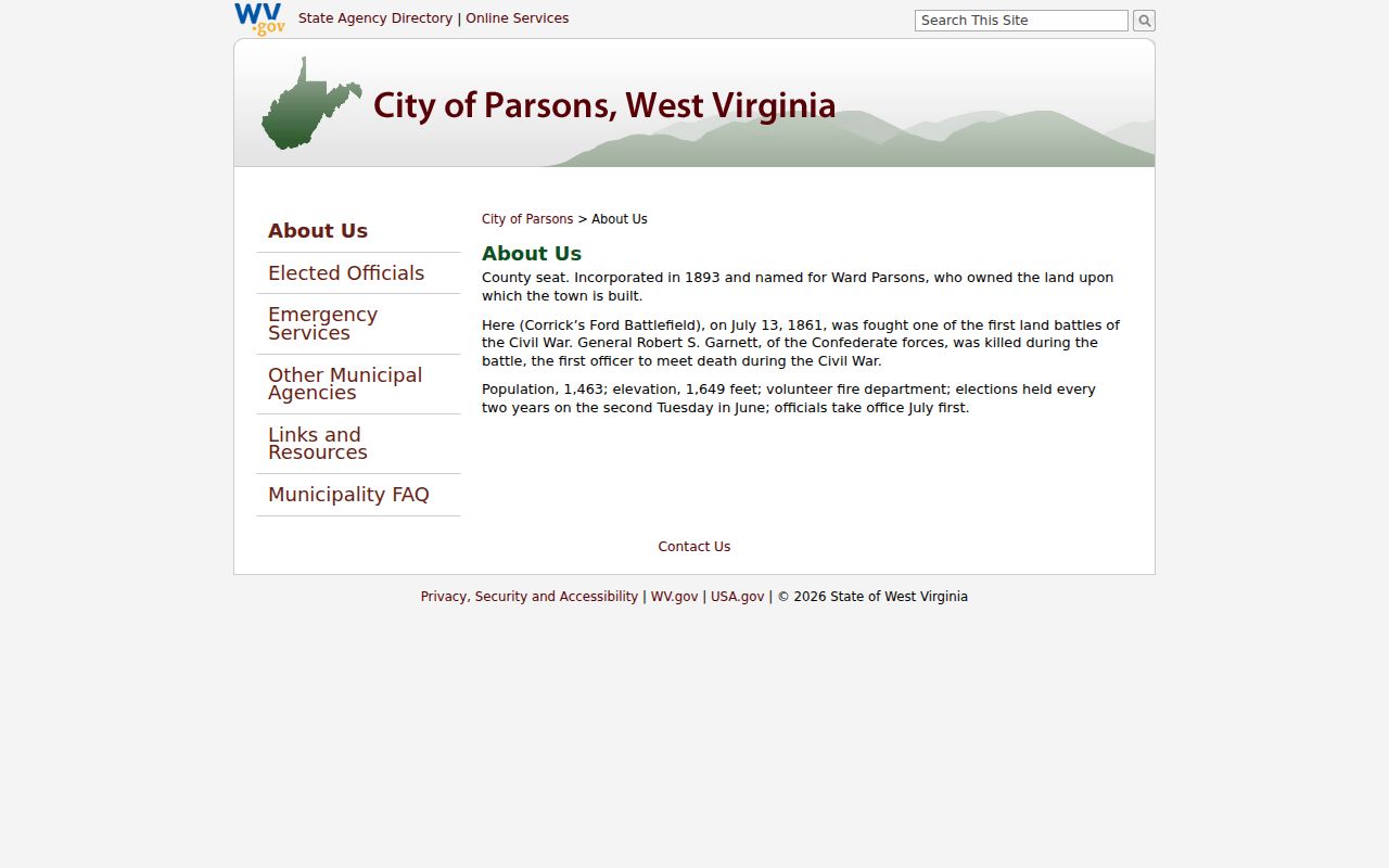
The municipal profile lays out the civic context for matching Parsons records with the county clerk's custody trail.
Parsons Property Boundary Clues
A Parsons minor boundary-adjustment petition refers to land in Black Fork District. It includes a map and a metes-and-bounds exhibit. For a parcel near the edge, compare that exhibit with the assessor community or tax-class field. Then check the GIS community layer and the deed description too. A Parsons mailing address alone proves nothing about location. It does not show the land sits inside the corporation.
The petition belongs to the municipal-code record, not an address search. It gives a boundary reference worth comparing with a parcel. That comparison pays off once the parcel appears in the statewide viewer. City and county sources answer related but different parts of the location question.
Treat the Black Fork filing as one clue. It is not a complete annexation history or a parcel-by-parcel city map. Read its metes-and-bounds text beside the attached map. Then compare both with the deed before concluding the same land is involved. For a current municipal-status question, contact Parsons at 341 Second Street. Tucker County's parcel ID and assessment stay with the county offices.
Parsons boundary-adjustment provision describes the petition and map reference.
Parsons Property Lots in County Records
No authoritative subdivision roster for Parsons appears in official sources. No plat-book index appears there either. Named record landscapes from those sources can serve as search clues, not confirmed subdivisions. When a parcel ties to one of these places, ask the Clerk for the actual plat name. Also request the lot, date, and book and page. A historic name can guide a search. It cannot establish a shared owner or a modern parcel boundary.
| Neighborhood / Subdivision | Era | In the Records |
|---|---|---|
| Ward Parsons town lots | Town origin; plat date not located | Search Ward Parsons and lot descriptions, then confirm a clerk plat reference |
| Corrick's Ford vicinity | 1861 battlefield context | Historic place clue; not a verified subdivision or parcel boundary |
| Western Maryland Depot area | Railroad-era landscape; parcel dates not located | Search road, railroad, and adjoining-owner terms in older descriptions |
Use the place name as a lead. Then move to the district, map, and parcel ID and compare the legal description. The county's parcel-map guidance explains how the map and the recorded plat answer different boundary questions.
Parsons Property Permit Records
Parsons keeps its municipal code online. What the code lacks is a searchable permit layer. There is no online permit-number field, zoning-map lookup, application form, fee schedule, inspection history, or parcel search. The state's municipal-contacts page lists the city office at 341 Second Street, reachable at 304-478-2311. A phone or counter request works best. Name the parcel or address up front. Ask the city to route the question to whoever holds its zoning or building files. Once connected, request specifics. A permit or application number, the owner or applicant, the contractor, a work description, issue and close dates, zoning district, inspection status, and copy fee all belong on the list. Treat that list as a checklist for the call, not evidence of an online search form. A city permit result is not a county deed. Keep the two record systems straight. A county assessment entry may list a property class or improvement value yet say nothing about what Parsons approved or inspected. A municipal notice or code case is no ownership record. When the question is a lot transfer or a restriction, the Clerk's recorded instrument governs; otherwise, keep the address and parcel ID in the request and ask which office holds the specific permit or zoning file.
Parsons Parcel IDs and Value
Parsons publishes no parcel prefix of its own. Parcel numbers follow the statewide pattern of district, map, parcel, and suffix, as shown in IAS and the WV Property Viewer. An assessor record fills in the rest. Physical and mailing addresses, property class, and land, building, and total appraisal values all show on one screen. No citywide revaluation or value trend is published either. Comparison takes a little care. Work from IAS sale and appraisal fields by district and map. Separate municipal Class IV property from Class II residential. Account for any recorded homestead exemption too. Those details support a fair local comparison, not a claim that any one Parsons neighborhood rose by a fixed amount. Municipal location matters most when a parcel is not owner-occupied, because the Assessor taxes other property inside a municipality differently from similar property outside one. A Parsons ZIP alone cannot settle the class. Check the county's community and tax-class fields, then compare the municipal boundary source and the legal description if classification or location is disputed.
Parsons City Property Geography
Parsons ZIP 26287 is a postal delivery area. It is not a deed boundary. City property can border land that carries the same postal city yet sits outside municipal limits. Sorting an edge parcel takes several sources. Compare the county GIS community layer, the assessor class, the Black Fork District, any official boundary exhibit, and the legal description. Confirm delivery addresses with USPS. Parsons property records also sit beside a larger county seat area, where the courthouse, jail, depot, bank building, and battlefield vicinity serve as historical place references. Treat those names as context only and verify every transfer by deed or plat. Never infer common ownership from a shared historic label.
What Parsons Property Records Show
A Parsons property records search can surface recorded ownership, assessment, tax status, map context, and some city permit or zoning history. No single portal combines those systems. A deed is not a survey, a tax value is not a market appraisal, and a city boundary document cannot replace a lot's legal description. Know which record answers which question.
Lawful use. Use Parsons property records for house history, purchase diligence, taxes, boundaries, and civic research. Do not use owner information to stalk, threaten, or harass anyone.